How Do You Find the Best Place to Drill a Water Well?
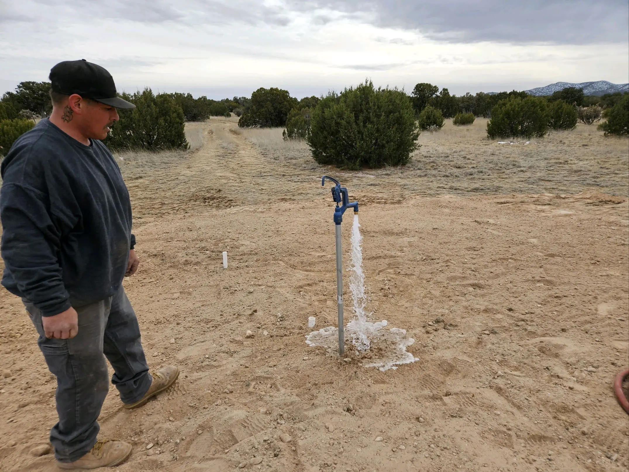 You do not find the best place to drill a water well from one surface clue, one neighboring well, or a single map. A stronger approach is to define what the well needs to supply, study nearby well records and local geology, screen out locations that cannot be used because of permitting, contamination or access constraints, and then compare the remaining drilling targets. The final proof of groundwater depth, yield and quality comes from drilling and testing – not from a surface prediction.
That distinction is especially important in Santa Fe and Northern New Mexico. Groundwater conditions can change with local aquifers, bedrock and fractured-rock formations, elevation and terrain. A nearby well can provide useful evidence without guaranteeing that your property will produce water at the same depth or rate.
The U.S. Geological Survey recommends considering the intended use of the well, local geology and hydrology, state requirements and records from previously drilled wells. New Mexico property owners also have access to Office of the State Engineer well-log, depth-to-water, point-of-diversion and mapping resources that can help build a more informed picture before the rig arrives.
First Define What the Well Needs to Supply
The “best” drilling location depends partly on what the well is expected to do. A well intended for one residence is a different planning problem from a well intended to support livestock, irrigation, an agricultural operation or a commercial property. The intended use affects how you think about dependable water production, storage, pump-system design and the complete water-delivery system.
Quantity is only part of the question. Reaching groundwater does not by itself prove that a well will produce enough water for the intended use, recover fast enough after pumping or provide suitable water quality. Those questions are answered more reliably after the well is constructed and evaluated.
Start with the water need, not with a favorite point on the property. That keeps the investigation focused on a usable water supply rather than simply on whether groundwater might exist somewhere below the parcel.
Start With Nearby Well Records – But Read Them as a Pattern
Records from existing wells are among the most useful pieces of pre-drilling evidence. USGS notes that state databases of previously drilled wells can help estimate likely well depth and possible pumping rates. In New Mexico, the Office of the State Engineer’s New Mexico Water Rights Reporting System, or NMWRRS, provides access to well-log and meter information, water-column and average-depth-to-water reports, point-of-diversion records and driller-license information.
The key is not to find one neighbor whose well looks promising and copy that number. Look for a local pattern. Several wells can give you a range that is more informative than a single example.
What to Look for in Well Logs
Depending on what is available in the record, useful information may include the total drilled depth, depth to water or static water level, drilling date, well location and information recorded about the formations encountered. Some records may also contain production or testing information.
The OSE database is valuable, but it is not complete statewide. OSE itself notes that database population is ongoing. Point-of-diversion locations also may not have been field verified in every case. That means a missing record does not prove that no well exists, and an online map point should not automatically be treated as survey-grade evidence.
Why One Neighbor’s Well Is Not Enough
Imagine three nearby wells with different total depths and different water levels. That spread tells you something important: the local groundwater system has variability. It would be misleading to take the shallowest well and assume your new well will match it.
A better question is: What range do the nearby records suggest, and how consistent is that pattern with the mapped geology and the location of the proposed property? The goal is to reduce uncertainty, not erase it.
Boylan’s article about dry-hole risk in Santa Fe well drilling reinforces the same point: pre-drilling information can improve planning, but geology still determines what the borehole actually encounters.
What Can Geology and Groundwater Maps Tell You?
Geology helps explain why groundwater may be more available in one formation than another. An aquifer is a body of rock or sediment that can store and transmit usable groundwater. Sand and gravel can transmit water through pore spaces, while fractured bedrock can store and move groundwater through cracks and fractures.
USGS describes a scientific groundwater investigation as a combination of geologic mapping, information from existing wells, hydrologic interpretation and, when warranted, additional testing. That is more useful than thinking of groundwater as an underground river that can simply be located from the surface.
For New Mexico projects, OSE GIS resources can help place well and water-right information into geographic context. Maps are useful for seeing patterns, but they should be treated as planning tools rather than a guarantee of what lies beneath one exact drilling point.
Which Pre-Drilling Clues Deserve the Most Weight?
Not every clue deserves equal confidence. A practical way to sort the evidence is to ask what each source can reasonably tell you – and what it cannot prove.
| Evidence source | What it can tell you | What it cannot prove |
| Official well records and drilling logs | Documented nearby well locations, depths, water levels or other recorded well information where available. | The exact depth, yield or water quality of a future well on your parcel. |
| Geology and groundwater mapping | Regional formations, aquifer context and spatial patterns that help interpret nearby wells. | That one point on the surface will produce a specific amount of water. |
| Several nearby wells | A local range or pattern that may be more useful than one anecdote. | That your property will match the closest or best-producing well. |
| Surface features | In some settings, terrain, springs, seeps or vegetation can provide clues about shallow groundwater. | Reliable depth, sustained yield or water quality at the proposed drilling point. |
| Anecdotes and dowsing | They may suggest places someone wants to investigate. | Scientifically verified groundwater depth, yield or a successful well. |
Can Surface Features Tell You Where Groundwater Is?
Sometimes surface features offer clues, but clues are not measurements. USGS notes that valleys, springs, seeps and certain water-loving plants can indicate shallow groundwater in some settings. The usefulness of those observations depends on the local geology and hydrology.
A low area is not automatically the best drilling location. A drainage channel may create contamination or access concerns. A cottonwood may indicate relatively shallow moisture without telling you whether a deep domestic well at that point will have adequate yield or acceptable water quality. Surface observations belong lower on the evidence ladder than well records, geology and professional interpretation.
Does Water Dowsing Reliably Find the Best Well Location?
Water dowsing should not be treated as proof that a particular spot will produce groundwater at a predictable depth or yield. The more defensible way to narrow a drilling target is to use hydrogeologic information, existing-well records, applicable site constraints and professional evaluation.
That does not mean every pre-drilling method eliminates uncertainty. Even detailed maps and neighboring well logs cannot see the exact fractures or water-bearing conditions that a borehole will encounter. The purpose of good investigation is to make a better-informed decision before drilling, not to promise a result that geology has not yet confirmed.
Why the Best Groundwater Target Still Has to Pass the Property Test
A location can look promising from a groundwater perspective and still be a poor place to put a well. The proposed point also has to work legally and physically on the property.
Setbacks and Contamination Protection
New Mexico well projects are subject to permitting and siting requirements. The proposed location may have to account for neighboring wells, septic and liquid-waste components, contamination sources, easements and other property constraints. The exact requirements should be checked for the parcel and the current permit.
Boylan’s separate article on where a new water well should be located on a New Mexico property addresses those property-siting questions in detail. Keeping the two decisions separate is useful: this article focuses on finding a promising groundwater target, while the location article focuses on whether that target can practically and legally be used.
Rig Access and Future Service Access
The drilling rig and support equipment must be able to reach and work at the site. After the well is completed, the wellhead should also remain reasonably accessible for pump work, inspection, rehabilitation and other service. A promising target that cannot be safely reached by the equipment is not a practical drilling location.
If you are still working through the regulatory side of the project, review Boylan’s guide to New Mexico well permits before treating a preliminary target as a final drilling point.
The Two-Map Method for Narrowing the Drilling Target
A simple way to organize the decision is to think in terms of two maps that have to overlap.
| Map | What belongs on it | Question it answers |
| Subsurface evidence map | Nearby well logs, depth-to-water information, geology, aquifer context and credible local groundwater information. | Where does the available evidence suggest a reasonable groundwater target? |
| Usable-property map | Permit conditions, septic and contamination setbacks, utilities, terrain, easements, drilling access and future service access. | Where can a well actually be drilled, protected and maintained? |
| Overlap | Candidate locations that survive both screens. | Which sites deserve the closest comparison before drilling? |
This approach prevents two common mistakes. The first is choosing a site because the groundwater evidence looks good while ignoring property constraints. The second is choosing the easiest open space on the parcel without asking what nearby wells and local geology suggest.
If two candidate areas survive both maps, compare the strength and consistency of the groundwater evidence, unresolved regulatory questions, equipment access, future serviceability and how the site fits the complete water system. A site with fewer unknowns may be the stronger choice even if another location initially looks more convenient.
When Would Additional Site Investigation Be Worth Considering?
Sometimes the available evidence is thin or contradictory. Nearby well records may be sparse. Existing wells may show a wide range of depths. The property may sit near a change in geology, or the intended water demand may make uncertainty especially important.
In those situations, additional professional investigation may be worth discussing. Depending on the project, a qualified groundwater professional may consider more detailed geologic or hydrologic review, field investigation, geophysical methods or test drilling. The appropriate method depends on the site and project; no method should be presented as a guarantee of a productive well.
Boylan’s approved company materials establish local expertise in Northern New Mexico geology, water well drilling, water-level measurement, well inspections and water-production testing, but they do not establish that Boylan uses a particular geophysical or proprietary locating method. A property-specific discussion is the right place to determine what level of investigation makes sense.
What Should I Bring to a Well-Site Evaluation?
Good information makes the site discussion more productive. Bring whatever you have that helps connect the groundwater investigation to the actual property: a survey or plat, proposed house and septic locations, known easements, existing-well information, access routes, planned structures and the intended water use.
If you have already found nearby OSE records, keep the well identifiers or reports rather than relying on remembered depths from a neighbor. A professional can then compare those records with the property layout and other available information.
Once a drilling target is selected and approved, Boylan’s overview of the domestic water well drilling process explains the next stages of constructing and equipping the well.
Project budgeting is a separate decision. See How Much Does It Cost to Drill a New Water Well in New Mexico? for the major factors that can affect the total investment.
Frequently Asked Questions
How do well drillers know where to drill for water?
They can use several kinds of evidence, including nearby well records, local geology and hydrology, groundwater maps, property constraints and knowledge of regional drilling conditions. Those sources help narrow a target, but drilling and testing provide the final confirmation of actual groundwater conditions.
Can nearby well logs tell me exactly how deep my well will be?
No. Nearby well logs can establish a useful local range and reveal patterns, but groundwater depth and productive formations can vary. Compare several records when possible rather than treating one neighboring well as a prediction.
Can you tell how deep the water is before drilling?
Available records and groundwater data may help estimate a likely range, but they cannot guarantee the static water level or final well depth at one exact point. Actual conditions are confirmed during and after drilling.
Can groundwater depth change across one property?
Yes. Subsurface geology, fractures, sediment thickness and topography can vary across a parcel, particularly in complex terrain. The amount of variation depends on the site.
Is the lowest part of the property always the best place for a well?
No. A low area may sometimes relate to shallow groundwater, but it may also create drainage, contamination or equipment-access problems. Groundwater evidence and the usable-property screen should be considered together.
Can geophysical testing guarantee a productive well?
No. Geophysical methods can add information about subsurface conditions when they are appropriate to a project, but they do not guarantee a specific well depth, yield or water quality. They are one possible source of evidence, not final proof.
Should I choose the drilling spot before applying for a New Mexico well permit?
You can identify candidate areas during planning, but the final point should be consistent with current OSE requirements, the issued permit and applicable property constraints. Do not treat a preliminary target as authorization to drill.
Plan a New Water Well with Boylan Water Well Service & Supply
Finding a strong drilling target is an evidence problem first and a drilling problem second. Nearby well records, geology and groundwater information can narrow the search, but the candidate also has to work on the actual property. Even then, the final depth, yield and water quality remain uncertain until the well is drilled and tested.
Boylan Water Well Service & Supply provides water well drilling, well inspections, water-production testing, pump installation and repair, pressure systems, storage and complete water-system services throughout Santa Fe and Northern New Mexico. Its approved company materials emphasize practical recommendations, local groundwater knowledge and long-term water-system reliability.
If you are planning a new well, contact Boylan Water Well Service & Supply to discuss the property, intended water use, available well information, site access and complete water-system needs.
Boylan Water Well Service & Supply
2743 Boylan Circle, Space 11
Santa Fe, New Mexico 87507
(505) 438-3416
Sources and Further Reading
U.S. Geological Survey – How do I find the best place to drill for water on my property? – Explains why intended use, geology, hydrology, state regulations and databases of previously drilled wells should be considered before selecting a drilling location.
U.S. Geological Survey – How Do Hydrologists Locate Groundwater? – Describes the scientific use of geology, existing-well records, hydrologic investigation and testing to evaluate groundwater.
New Mexico Office of the State Engineer – NMWRRS – Provides public access to well-log, depth-to-water, point-of-diversion, water-right and driller-license information; the database notes that statewide population is ongoing.
New Mexico Office of the State Engineer – GIS Data and Maps – Provides public maps and geospatial data for New Mexico water-resource planning and point-of-diversion context.
Boylan Water Well Service & Supply – Water Well Services – Company information on Santa Fe and Northern New Mexico water well services and current contact information.
Boylan Water Well Service & Supply | Santa Fe and Northern New Mexico | 505-438-3416